How Top Apps Simplify the Property Line Discovery Process
Table of Contents
Introduction
Understanding property lines is essential for homeowners, buyers, real estate agents, and developers. Traditionally, figuring out boundaries required digging through records, hiring surveyors, and hunting for physical markers on the land. Today, technology has dramatically changed this experience. The current day property line apps make the process easier and much more accessible.
These apps combine powerful mapping tools with public data to give users a clearer picture of their land without any complexity right in their mobile.
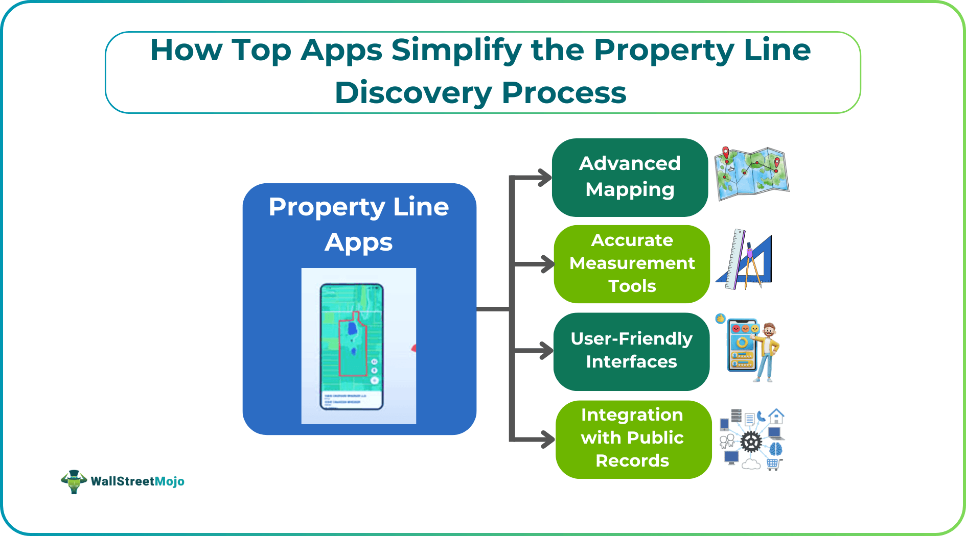
Let us look at how these apps function, what are their features, and how you can use them to simplify your property lines discovery.
The Role of Advanced Mapping
The currently property line discovery apps have sophisticated mapping technologies. This makes them more accurate than ever before. Let us look at how advanced mapping makes boundary discovery easier:
- They offer high-resolution satellite images that help get accurate visuals of the land.
- They use aerial photography that is better than traditional maps on paper.
- LiDAR and GIS data help outline boundaries with precision.
All these together help create a detailed view of the property and its surroundings. Users can understand how their land is, its layout, property line identification and check out for any overlaps which may need attention before getting into legal hassles. Thus, property line discovery apps are a great help due to their ingenious features. You can browse online for the best app for finding property lines, like Land id.
User-Friendly Interfaces
One of the biggest advantages of property line apps is their ease of use. There is no need to have any tech knowledge for the same. Even a layman can quickly learn the layout. All top apps have the Zoom feature for close-up inspection. There is a drag-and-move navigation that helps explore larger areas. The boundary lines are easy to distinguish as they are color-coded or dotted.
If this isn’t enough, the apps have simple icons and labels for measurements, documents, and tools. Thus, compared to the traditional paper method, these designs remove any doubts and help users get the answers they need. In a short span of time, you can check boundary lines, plan a fence, or verify your property size.
Accurate Measurement Tools
Not just visual accuracy, using these property apps, we can use measurement tools that are very useful for planning and decision-making. Most of these tools have mix of GPS, GIS, and mobile sensors.
These tools with their accuracy can measure:
- Distances (e.g., fence length)
- Calculate the area for yards, plots, or construction sites
- Find elevation estimates for landscaping or drainage planning
These land survey apps can measure much more. These measurements may not replace an official survey but provide excellent initial estimates for planning projects. They also help in comparing properties before you buy them.
Integration with Public Records
A major advantage of these top apps is their ability to connect directly with government and county records. This saves the time spent in manual searching.
Some of the data they pull in include:
- Historical deeds
- Assessor’s office data
- Information on parcel owners
- Dimensions and zoning details
This integration with public records helps users check if the property details on the app aligns with legally recorded boundaries. Thus, the data on these apps are credible, helping check ownership details. One can also look up for tax-related information.
Collaboration and Sharing Features
Property decisions are made with multiple parties’ involvement. These apps are very helpful as they make collaborations easier. Users can share maps and images with real estate agents and surveyors. They can also send them measurement details through messages or via emails. They can upload multiple documents regarding boundary points.
These features ensures that there is no confusion and everyone is on the same page. They help reduce misunderstandings during property transactions.
Mobile Accessibility
In this digital age, there is not a single person who does not have a mobile at hand. Thus, property boundary tools are much sought after due to their mobile accessibility, adding to their popularity. Using these apps, one can access data from anywhere, changing how people interact with their land.
Some of the benefits include:
- On-site verification using real-time GPS tracking to compare physical location with digital boundary lines
- They eliminate the need for heavy maps or surveying tools
- You can pre-downloaded offline maps and use it in remote areas without internet access.
Such flexibility is very useful for field inspections. They are also a boon for rural landowners.
Handling Discrepancies
Using property line discovery apps, there are sometimes bound to be inaccuracies. As these apps rely on public data, the GIS could remain misaligned or there could be typos.
Always cross check the data with physical markers like survey pins. Compare the information at hand with deeds or county records. Also, use notes and photos to document concerns for later review
For legal disputes, users should always consult a licensed surveyor.
Security and Privacy Considerations
Property information is private. Always ensure that such sensitive data is protected by strong security in the apps you use. Some strong security measures that can be enforced include:
- Encrypted cloud storage for documents like deeds and important receipts
- Role-based permissions so that only restricted users access sensitive data
- Only essential data should be stored and protected.
These measures help users feel confident that their property and personal information are in responsible hands when using real estate mapping apps.
Continuous Updates and Support
Property line apps are reliable because developers continuously improve them. Most platforms offer regular updates, including real-time fresh satellite imagery and bug fixes.
The customer support of these property line discovery apps is also responsive. Most apps provide in-app support.
Users feedback is also used proactively for improvements. This ensures the apps remain accurate, up-to-date, and aligned with real-world needs.
Conclusion
Current property line apps have changed the way people manage land boundaries. These apps provide accurate mapping, measurement tools, and public record integration. Besides, they also are mobile friendly, making the entire accessible and error-free. Though they are a fine choice for general assessments and property comparison, users should still verify crucial details through official records or licensed surveyors.
As technology continues to improve, these apps will only become more reliable and change the way we approach land ownership.